 (DePaul University/Jeff Carrion)
By: Patrick McHaffie, Department of Geography; Sungsoon Hwang, Department of Geography; Cassie Follett, Department of Geography
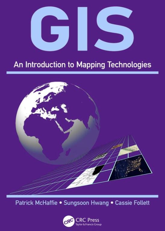
"GIS: An Introduction to Mapping Technologies" provides an accessible introduction to geotechnology to a wide range of students. The techniques and approaches to problem solving, project organization and management, and data visualization are used with the intention of introducing students to the possibility of using GIS as a platform for making contributions to a wide range of programs that are concerned with social, economic, political and environmental change. The book also includes activities that lead students through hands-on workflows to create flexible and functional "solutions" to specific tasks that are typical for geospatial analysts.
What’s the most surprising thing you learned while writing this book? (Image courtesy of CRC Press/ Taylor & Francis)
A 2012 study by the Boston Consulting Group estimated the U.S. geospatial industry generated approximately $73 billion in revenues in 2011, and comprises at least 500,000 high-wage jobs. In addition, BCG found that geospatial services deliver efficiency gains in the rest of the economy that are valued at many times the size of the sector itself - with geospatial services driving $1.6 trillion in revenue and $1.4 trillion in cost savings.
Persuade someone to read your book in less than 50 words:
This is a book about geographic information systems written by three DePaul geographers working at one of the top programs in this field situated in the greatest of American cities - Chicago. In 2016 our program was named as the first "program of excellence" by the American Association of Geographers, the largest organization of professional geographers in the world, for "developing a curriculum that advances urban social justice, community service and geotechnology."
About the authors:
Patrick McHaffie, an associate professor, joined DePaul in 1996. During the 1980s he served with the Kentucky Geological Survey, where he conducted environmental research related to coal mining, directed the National Cartographic Information Center affiliate office and coordinated the State Topographic Mapping Program. His research interests and publication history include the social history of cartography and GIS, the cartographic labor process, cartographic ethics, the geography of education spending, Appalachian social geography, and the social construction of the globe. He currently is completing a study of highway planning in Chicago during the cold war. His work has been supported by grants from the National Science Foundation, History of Cartography Project, and the University Research and Quality of Instruction Councils.
Sungsoon Hwang is an associate professor in the Department of Geography. She received her Ph.D. in Geography with a concentration on Urban and Regional Analysis from State University of New York - Buffalo. She has created and taught 20 courses related to GIS. She has published on fuzzy geodemographics, GIS for sustainability education, and uncertain GPS trajectory computing in the disciplines of geography, urban planning and computer science.
Cassie Follett is the GIS coordinator for the Department of Geography. In this role, she helps plan and expand GIS capabilities on campus and manages the new GIS Lab on campus. Before joining DePaul, she worked for NASA and the federal Environmental Protection Agency, and received her MA from West Virginia University while researching big data and open source web GIS. She also is a volunteer with several open source GIS projects such as Cesium and QGIS, and is currently a "Hacker in Residence" with local Chicago startup Hologram, and a "Cyberacademy Fellow" with SANS. Follett is currently pursuing a second M.S. at DePaul in computer science, with research interests in participatory GIS, GIS programming, critical GIS, environmental justice and virtual reality.
Publisher, publication date, length:
CRC Press/ Taylor & Francis, October 2018, 348 pages
Signed by the Author allows DePaul faculty and staff to introduce their recently published or upcoming book or chapter to the university community. To submit your book or chapter for consideration, contact Newsline.