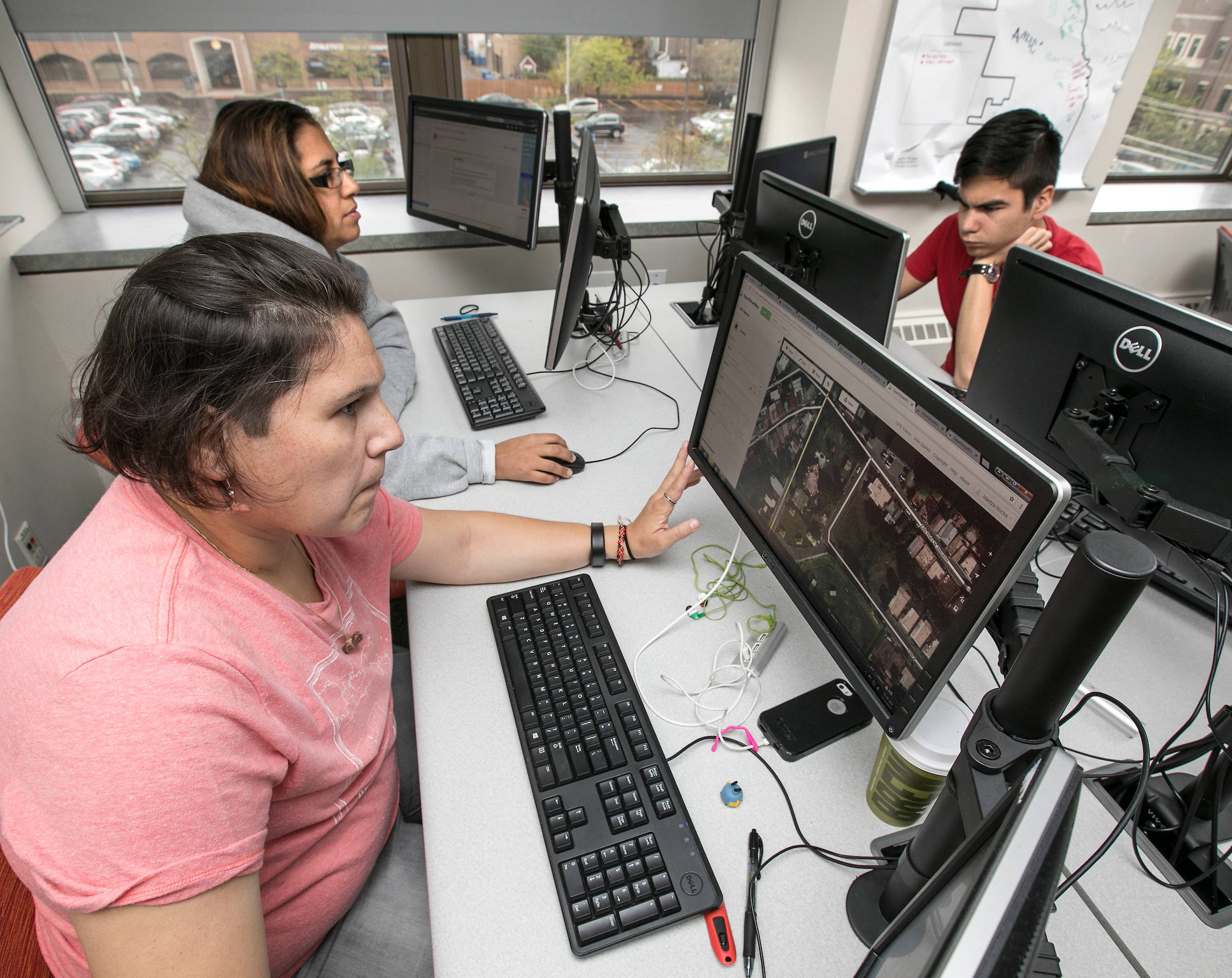
 Cynthia Ortiz (top) and Maritza Rocha, both graduate students studying sustainable urban development, team up with geography major Grant Smith as they outline buildings and roads using open source mapping software to help rescuers on the ground in hurricane-ravaged Puerto Rico. (DePaul University/Jamie Moncrief)
It was a few days after Hurricane Maria blew through Puerto Rico, and Patrick McHaffie was supposed to be grading. Instead McHaffie, an associate professor of geography in the College of Liberal Arts and Social Sciences, was crisis mapping on the Humanitarian OpenStreetMaps website. By completing tasks on the online community mapping project, McHaffie was helping aid workers navigate disaster-ravaged landscapes.
"What we are trying to do is to make our maps -- those used by those who are on the rough and sometimes bleeding edge of tragedy -- be the best and most complete possible," McHaffie says. "We are trying to ensure that all who are unfortunate enough to be engulfed by physical or human catastrophes are made visible by our work."
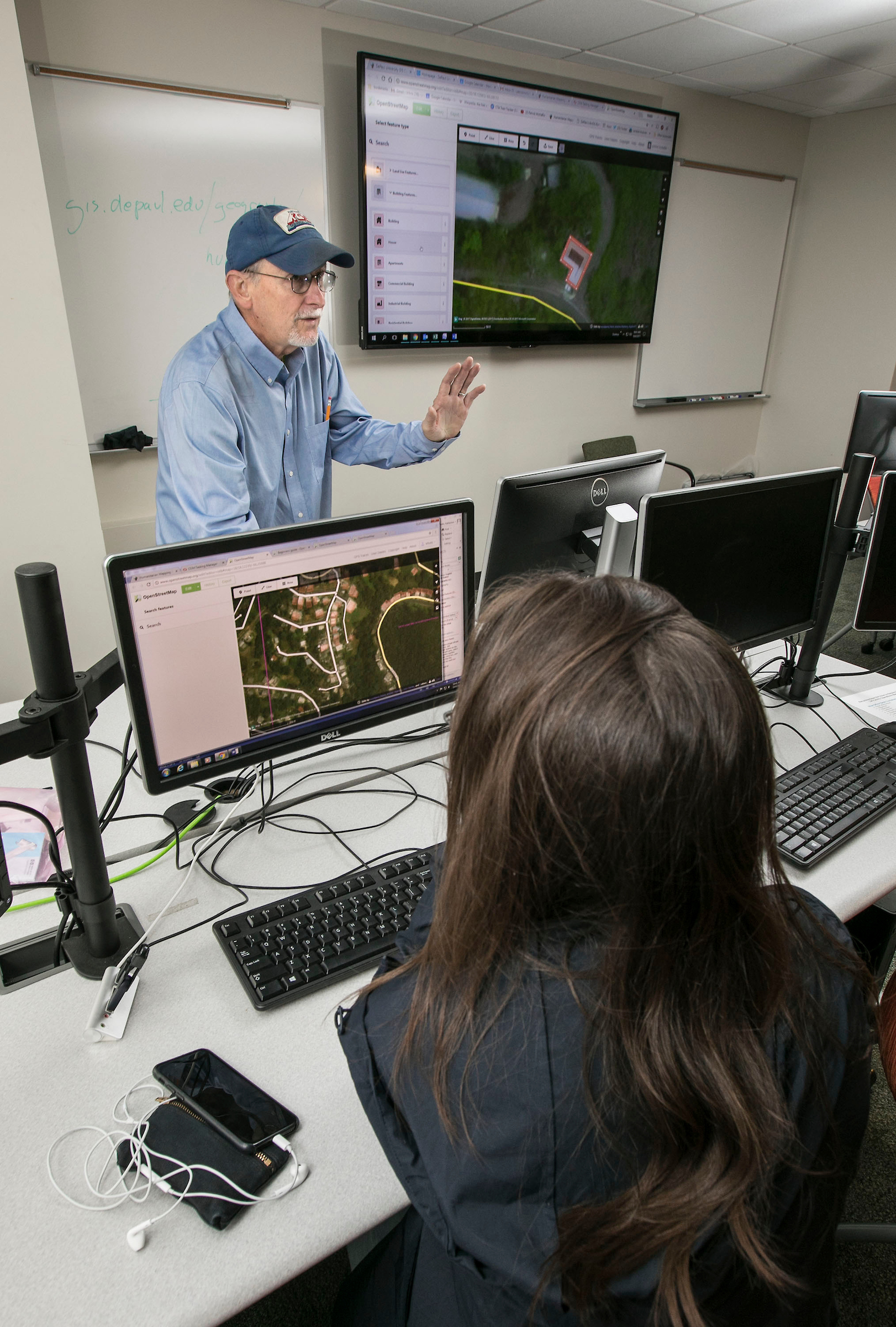
 Patrick McHaffie, an associate professor of geography, hosted a computer workshop at the GIS Lab on DePaul's Lincoln Park Campus to show students how to use the Open Street Map (OSM) program to help rescuers during crisis response situations. (DePaul University/Jamie Moncrief)
Users layer together GPS data and aerial imagery to bring clarity and accuracy to the maps.
McHaffie thought his students probably had the same impulse to help, so he set up humanitarian mapping sessions in the university's Geographic Information Systems - or GIS - Lab in Lincoln Park. During two sessions in early October, 20 DePaul students came together to work on the OpenStreetMap website. Their focus was Puerto Rico, but the website also has projects for the earthquake in Mexico, South Asia floods and Western Pacific volcanoes.
"This is the map that Google relies on, and there were a lot of urgent things that needed to happen right away to improve the maps," McHaffie says. "Doing this type of work is a foundation of our ethical practice as geographers."
For student Maritza Rocha, the mapping session was personal. "As a Latina, I felt helpless during a time of great need in Puerto Rico and felt compelled to contribute and support in any way possible," says Rocha, who is studying for a master's degree in sustainable urban development at DePaul. "I starting mapping out and connecting polygons for Puerto Rico within 15 minutes of the training. I went home that evening and helped with some mapping of Mexico's disaster as well."
With her own family in Puerto Rico, master's student Cynthia Ortiz also saw the urgency in the project. "If I was able to fly over and help out I definitely would have," says Ortiz, who is also studying sustainable urban development. "Working on GIS research tends to be very solitary, so working on a project where you can see that you and others are making a difference is great," she says.
After each training, McHaffie encouraged students to continue the work on their own time and to pay it forward by teaching two more people how to be crisis mappers as well.
Humanitarian mapping is one way the department engages with the community and teaches students to critically assess the interaction of humans and the environment, says McHaffie. The American Association of Geographers recognized DePaul's Department of Geography in 2016 with its inaugural Program Excellence award for its innovative curriculum and programming.
"As a teacher and scholar it is the most rewarding experience you can have to see your students engaged and excited about the work they are doing," McHaffie says. "The maps that we make can help restore the physical and human worlds of countless communities and the folks who live in them."