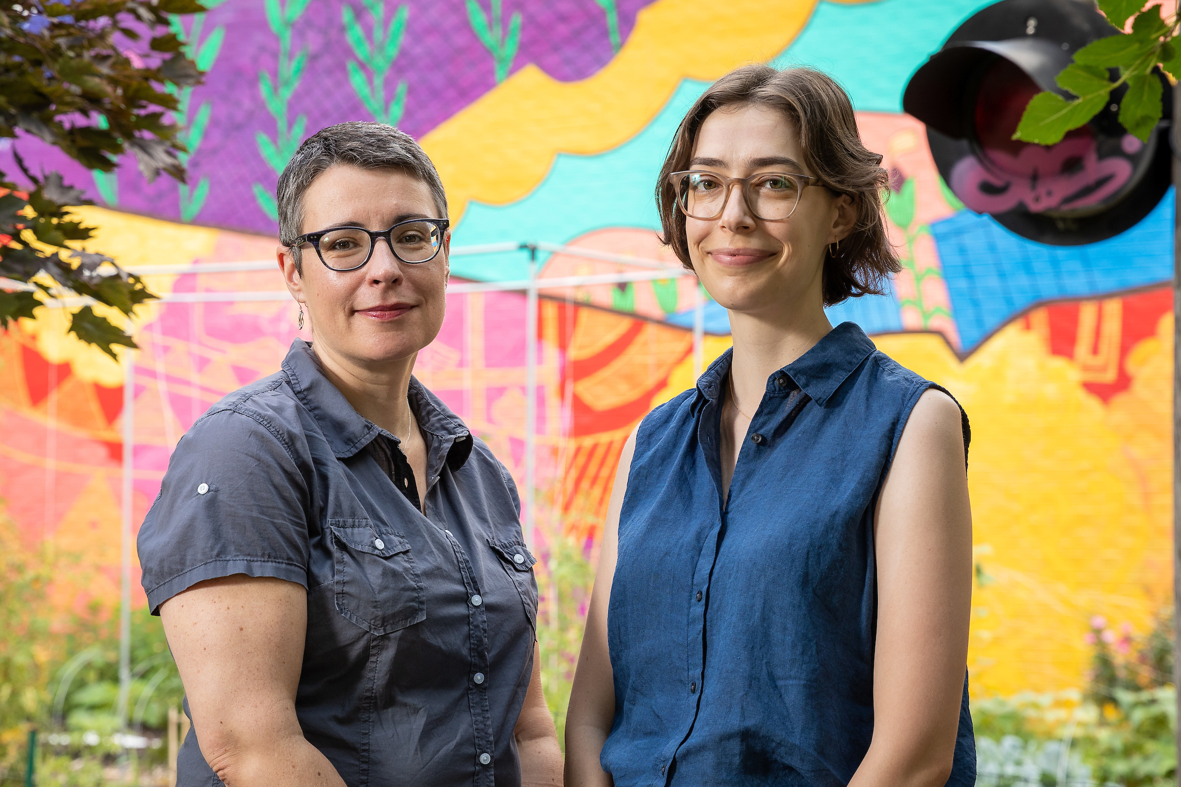
 DePaul geography faculty members Winifred Curran (left) and Michelle Stuhlmacher are part of a research team that received a $250,000 grant from NASA to work on the team's "Designing for Just Green Enough: A Data Integration Tool for Informing Community Green Space Planning" project. (DePaul University/Jeff Carrion)
A research team led by two DePaul geography faculty was recently awarded a $250,000 NASA grant to collaborate with a Chicago community on an expanded online dashboard that uses satellite data to bring disparities in tree canopy coverage, plant diversity and air quality into focus. The goal is to give community leaders accurate and accessible data that they can use in their fight for environmental justice.
Called “Designing for Just Green Enough: A Data Integration Tool for Informing Community Green Space Planning,” the online data dashboard project extension builds on an 18-year partnership DePaul geography researchers have with community leaders, including 25th Ward Alderman Byron Sigcho-Lopez, and residents in Chicago’s Pilsen neighborhood. It is a step towards finding ways to improve equity in greenspace access without displacing residents the increased greenspace was intended to benefit, says Michelle Stuhlmacher, an assistant professor of geography and lead researcher on the project.
This project will build on a web-based data dashboard called
ChiVes, a multi-institution project released in late 2021. A data collaborative and community mapping application, ChiVes brings data on Chicago’s environment together at the neighborhood level.
It’s a partnership of researchers, community organizations and civic groups led by Marynia Kolak, an assistant professor of geography and GIScience at the University of Illinois Urbana-Champaign. DePaul was one of the first collaborators on the project. The NASA grant will fund an extension of the project where community leaders will work with the research team to develop an interactive index for guiding environmental justice applications.
“Projects such as adding street trees, creating more space for community gardens and adding butterfly-friendly plants to school grounds will make a big difference to a community that’s battled environmental injustice for years,” Stuhlmacher says. “Ultimately, we want to put the tools for neighborhood decisions in the hands of the community. They will have this data, and then they can design projects that best fit their neighborhood’s needs.”
The project is framed by the “just green enough” model, which argues for real environmental improvements that can be realized in a community without further encouraging gentrification. The improvements should be driven by the needs and values of the community as opposed to what is valuable to outside real estate developers, says Winifred Curran, a professor of geography and co-researcher on the project.
“There’s not just one answer to ‘just green enough,’” Curran says. “The whole purpose is to be responsive to the community and allow the people most affected by environmental injustice to decide what projects they want to tackle.
“It’s unusual for communities to have access to satellite data to make the case about tree canopy coverage or air quality. This type of data can seem out of reach, especially for communities who have historically been overlooked or ignored. However, thanks to this grant, it’s not,” she adds.
Stuhlmacher and Curran are collaborating on this project with Kolak, 25th Ward Alderman Byron Sigcho-Lopez, and Christian Braneon from NASA Goddard Institute for Space Studies.
In the Pilsen neighborhood specifically, the data integration tool can help inform green space planning, as in the case of a vacant lot recently purchased by the City of Chicago for the development of affordable housing. It can also inform conversations community leaders are having with the Environmental Protection Agency about air pollution from current industrial sites. The data will help show the areas of highest concern and inform both community members and decision makers.
“Pilsen is a neighborhood that continues to be overburdened by environmental pollutants and underserved in terms of green space,” Sigcho-Lopez says. “The collaboration with DePaul, and grants like this one from NASA, increase our capacity to address these issues and give the community access to data and analytic tools that would otherwise be unavailable."
The team believes the dashboard can eventually be built out for communities who need up-to-date data to take to government officials all around the globe.
“It’s such a positive sign that NASA is putting its weight behind environmental justice initiatives,” Curran says. “Neighborhoods such as Pilsen will be able to take advantage of this project to better their community while maintaining affordable living space for the residents who fought so hard for those changes.”